TL;DR
A series of severe storms moved through the Chicago area Wednesday, causing widespread damage and power outages. Additional storms are expected Thursday, with risks of tornadoes and damaging winds continuing.
Severe storms swept through the Chicagoland area Wednesday, causing damage, power outages, and airport ground stops, with additional threats of severe weather expected through Thursday night. Learn more about the upcoming storms in Chicago.
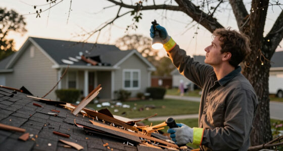
The storms brought damaging winds exceeding 75 mph, leading to over 270,000 power outages and tree damage across parts of Illinois and Indiana. Airports, including Midway and O’Hare, issued ground stops until late evening. The National Weather Service issued a tornado watch and severe thunderstorm warnings for multiple counties, with the threat of tornadoes, damaging winds, hail, and heavy rainfall persisting into Thursday.
Weather officials warn that the second round of storms is moving eastward over northern Illinois, with the potential for brief tornadoes and wind gusts over 70 mph. The storms are expected to exit the area by early Friday morning, but the threat remains high through Thursday evening, particularly between 4 p.m. and 10 p.m. The region experienced its hottest day of 2026 prior to the storms, with temperatures reaching into the 90s.
Impacts on Infrastructure and Public Safety
The ongoing severe weather poses significant risks to public safety, infrastructure, and transportation. Power outages affect hundreds of thousands, disrupting daily life and emergency services. The threat of tornadoes and high winds underscores the need for residents to stay alert and prepared. The storm activity also impacts travel, with airport delays and cancellations affecting thousands of travelers. Understanding these risks emphasizes the importance of timely weather warnings and preparedness measures.
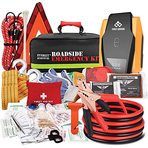
Everlit Survival Car Emergency Kit, Roadside Safety Tool Kit with Gloves,Digital Auto Air Compressor Tire Inflator, First Aid Kit, 12 Feet Jumper Cable, Tow Strap, Flashlight for Women, Men, Teenagers
The Road Guardian- The portable roadside assistance kit is designed and hand picked by a group of experienced…
As an affiliate, we earn on qualifying purchases.
As an affiliate, we earn on qualifying purchases.
Recent Severe Weather Patterns in Chicago
Chicago experienced its first 90-degree day of 2026 on Wednesday, breaking a long period without such high temperatures since August of last year. The day was marked by intense heat followed by the rapid development of severe storms, a pattern consistent with the region’s increasingly volatile weather. The National Weather Service has issued multiple warnings over the past few days, reflecting an active storm season this summer. Power outages and wind damage have been common, with authorities warning residents to remain vigilant as additional storms are forecast.
“Residents should prepare for continued severe weather through Thursday evening, including the possibility of tornadoes and high winds.”
— Chicago emergency officials
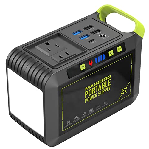
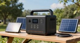
MARBERO Portable Power Station 88Wh Camping Lithium Battery Solar Generator Fast Charging with AC Outlet 120W Peak Power Bank(Solar Panel Optional) for Home Backup Outdoor Emergency RV Van Hunting
EFFICIENT CHARGING: Use the adapter included in the package to charge the power station from 0 to 80%…
As an affiliate, we earn on qualifying purchases.
As an affiliate, we earn on qualifying purchases.
Uncertain Storm Trajectory and Intensity
While forecasts indicate continued severe weather through Thursday night, the exact paths and intensities of the storms remain uncertain. The potential for tornado formation and wind gusts over 70 mph varies regionally, and weather models are still refining predictions for the late evening hours. It is not yet clear how widespread the damage will be or if additional tornadoes will develop.

Kesfitt 16 Mil Heavy Duty Waterproof White Tarp, 12×20 ft, 100% Virgin Polyethylene, Reinforced Grommets, UV Resistant Outdoor Tarp for Storm Protection, Equipment Cover & Backyard Use
16 Mil Heavy Duty Waterproof White Tarp for Outdoor Protection: This tarp waterproof cover is a heavy duty…
As an affiliate, we earn on qualifying purchases.
As an affiliate, we earn on qualifying purchases.
Expected Developments and Safety Recommendations
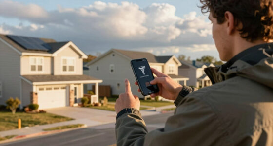
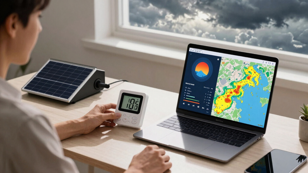
Residents should monitor local weather updates and heed warnings through Thursday evening. Authorities advise securing outdoor objects, avoiding travel during storms, and having emergency supplies ready. After the storms pass, focus will shift to assessing damage and restoring power. Stay informed about severe weather outbreaks. Weather conditions are expected to improve Friday, with lower humidity and calmer weather, but small chances for rain and storms remain into early next week.
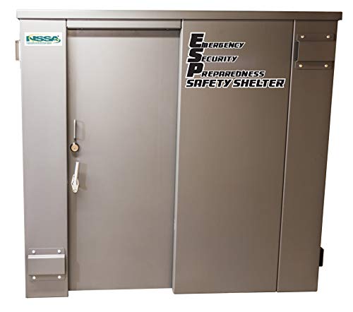
SR84X114G- Swisher ESP Safety Shelter- 20 Person Private / 12 Person Business
Bolt together design for ease of construction and relocation
As an affiliate, we earn on qualifying purchases.
As an affiliate, we earn on qualifying purchases.
Key Questions
Are tornadoes likely in the current storm system?
The National Weather Service has issued a tornado watch, and brief tornadoes are possible, but the exact likelihood varies regionally and depends on storm development.
How long will the severe weather last?
The current storms are expected to exit the area by early Friday morning, but the threat persists through Thursday evening, especially between 4 p.m. and 10 p.m.
What safety precautions should residents take?
Residents should stay indoors during storms, avoid windows, secure outdoor objects, and listen for official warnings. Power outages may continue into Thursday night.
Will there be more storms this weekend?
The weekend is forecast to be mostly dry with some rain possible late Saturday, and temperatures will drop into the 70s on Sunday. Small chances for rain and storms are expected early next week.
Source: Google Trends