
TL;DR

Get backup power and energy gear delivered free with Prime
- Fast, free delivery on millions of items
- Prime Video, Amazon Music and more included
- Member-only deals all year
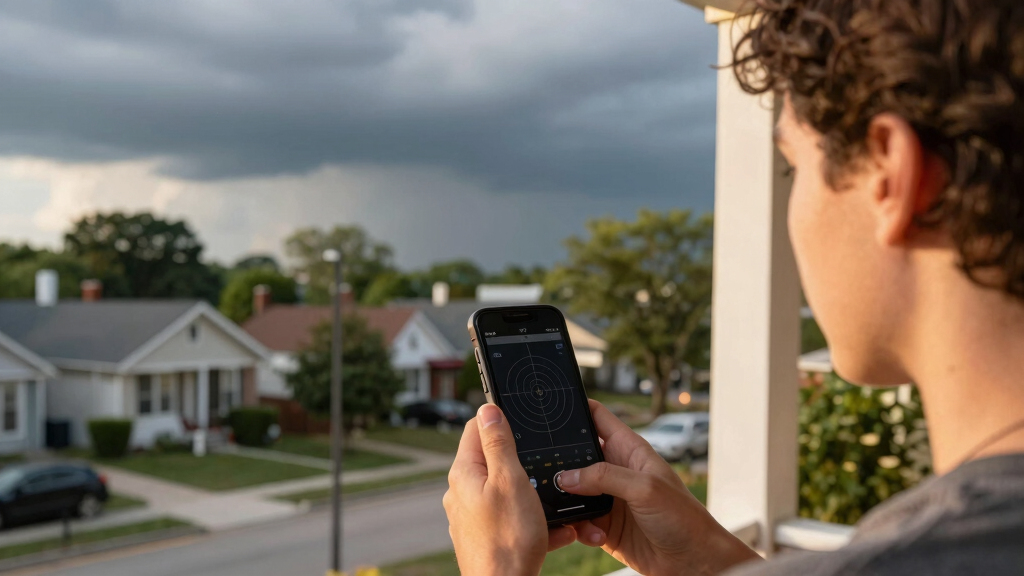
Metro Detroit faces increased storm risk Thursday afternoon, with scattered showers and thunderstorms possible between 2PM and 8PM. While severe weather is unlikely, gusty winds and heavy rain could occur.
Metro Detroit is facing an increased risk of thunderstorms Thursday afternoon, with a Level 1 out of 5 risk for isolated severe weather, mainly from 2PM to 8PM. The weather pattern includes rising temperatures into the mid-80s, followed by scattered showers and thunderstorms that could produce gusty winds and heavy rain, impacting outdoor plans.
Thursday begins with partly sunny skies, but clouds will gradually increase through the afternoon. Temperatures will climb into the mid-80s, with Detroit reaching 87°F. The National Weather Service has issued a Level 1 risk for isolated severe thunderstorms during the late afternoon and evening hours. The primary threat from these storms includes gusty winds, heavy downpours, and frequent lightning, though widespread severe weather is not expected.
Forecasters emphasize that not everyone will see rain, but residents should stay alert, especially during the peak hours of 2PM to 8PM. The weather pattern remains warm and humid, with humidity around 50% and dew points at 65°F, which can contribute to storm development. The forecast indicates a relatively quiet stretch for Saturday and Sunday, with highs in the mid to upper 80s and limited rain chances. However, early next week, temperatures are expected to rise into the lower 90s, bringing hotter conditions.
Impacts of Thursday’s Storm Risk on Metro Detroit Residents
This storm risk is significant because even a Level 1 threat can bring gusty winds and localized heavy rain, potentially disrupting outdoor activities and travel plans. Residents should monitor weather updates and prepare for possible sudden weather changes, especially during the late afternoon and early evening hours.
portable weather radio with NOAA alerts
As an affiliate, we earn on qualifying purchases.
As an affiliate, we earn on qualifying purchases.
Weather Pattern Leading to Increased Storm Chances
The upcoming storm chances are driven by a warm, humid air mass moving into the region, combined with an approaching weather system that enhances instability. Historically, this pattern has produced isolated severe storms in the area during late spring and early summer, but widespread severe weather remains unlikely this time.
Forecasters have highlighted that the most active period for storms will be between 2PM and 8PM, with the potential for isolated severe thunderstorms, mainly due to gusty winds. The forecast also predicts a brief cooldown on Friday, with a 30% chance of rain mainly south of M-59, before hotter conditions return early next week.
“The primary concern is gusty winds and localized heavy rain during the peak hours of thunderstorm activity.”
— an anonymous researcher
As an affiliate, we earn on qualifying purchases.
Uncertainties About Storm Severity and Timing
It is not yet clear how many storms will develop or their exact severity, as weather conditions can change rapidly. While the forecast indicates a low risk for widespread severe weather, localized severe storms cannot be entirely ruled out, and the timing of peak activity may vary slightly.
heavy rain waterproof jacket for men
As an affiliate, we earn on qualifying purchases.
As an affiliate, we earn on qualifying purchases.
Monitoring and Preparing for Thursday’s Storms
Meteorologists will continue to track the weather system throughout the day, providing updates as needed. Residents should stay informed via local weather alerts, especially during the afternoon hours, and be prepared for possible disruptions. After Thursday, the weather is expected to stabilize, with warm, dry conditions returning for the weekend and early next week.
gusty wind resistant outdoor furniture covers
As an affiliate, we earn on qualifying purchases.
As an affiliate, we earn on qualifying purchases.
Key Questions
Will there be widespread severe weather in Metro Detroit on Thursday?
No, the forecast indicates a Level 1 out of 5 risk for isolated severe thunderstorms, primarily from 2PM to 8PM. Widespread severe weather is not expected.
What are the main hazards associated with Thursday’s storms?
The main hazards include gusty winds, heavy rain, and frequent lightning. Some storms could produce localized damage, especially from wind gusts.
Should I cancel outdoor plans for Thursday?
It’s advisable to monitor the weather throughout the day and be prepared to adjust plans if thunderstorms develop, particularly during the late afternoon and early evening hours.
How long will the storm threat last?
The most active period is expected between 2PM and 8PM Thursday, but some storm activity could extend into the evening. Afterward, conditions are forecast to improve.
Will the weather stay warm after Thursday?
Yes, temperatures will remain in the mid to upper 80s through the weekend, with hotter conditions early next week pushing highs into the lower 90s.
Source: Google Trends
Halloween Picks
halloween
As an affiliate, we earn on qualifying purchases.